
Description
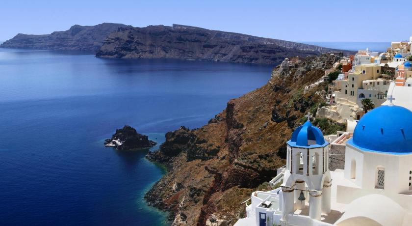
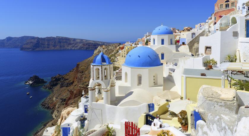
Santorini caldera is a large, mostly submerged caldera, located in the southern Aegean Sea, 120 kilometers north of Crete in Greece. Visible above water is the circular Santorini island group, consisting of Santorini (aka Thera), the main island, Therasia and Aspronisi at the periphery, and the Kameni islands at the center.
Geography
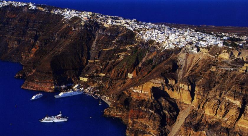
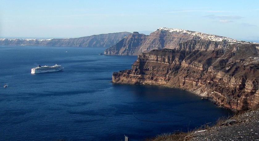
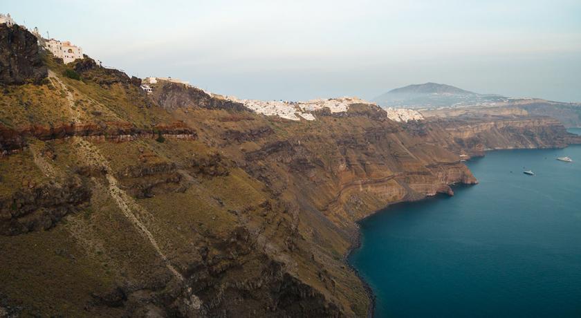
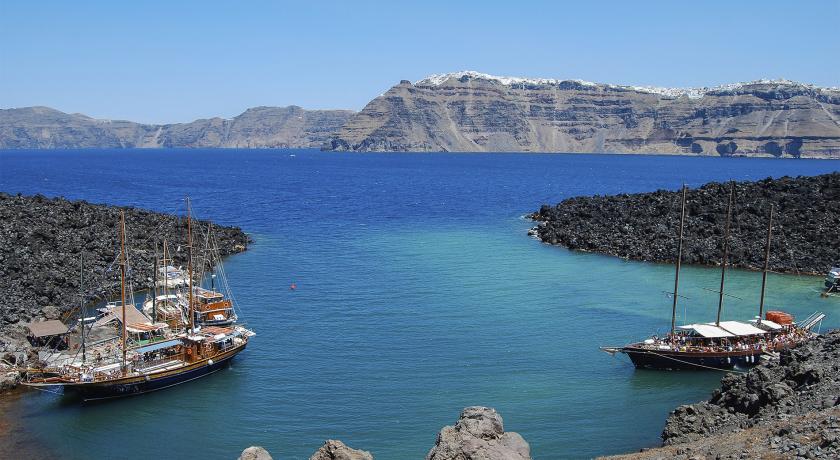
The caldera measures about 12 by 7 km (7.5 by 4.3 mi), with 300 m (980 ft) high steep cliffs on three sides.
There are two small volcanic islands at the center of the caldera, Nea ("New") Kameni and Palea ("Old") Kameni.
The main island, Santorini has an area of 75.8 km2 (29.3 sq mi) km2, Therasia 9.3 km2 (3.6 sq mi), and the uninhabited islands of Nea Kameni 3.4 km2 (1.3 sq mi), Palea Kameni 0.5 km2 (0.19 sq mi) and Aspronisi 0.1 km2 (0.039 sq mi).
The extraordinary beauty of Santorini's high walls, draped by whitewashed villages, combined with a sunny climate and perfect observation conditions, have made it a magnet for volcanologists, as well as a highlight of tourism in the Aegean.
Geology
The volcanic complex of Santorini is the most active part of the South Aegean Volcanic Arc, which includes the volcanoes of Methana, Milos, Santorini and Nisyros. It marks the subduction of the African tectonic plate underneath the Aegean subplate of the Eurasian tectonic plate, at a rate of up to 5 cm per year in a northeasterly direction. It is characterized by earthquakes at depths of 150–170 km.
Non-volcanic rocks are exposed on Santorini at the Profitis Ilias Mountain, Mesa Vouno, the Gavrillos ridge, Pirgos, Monolithos and the inner side of the caldera wall between Cape Plaka and Athinios.
The Kameni islands at the center of the caldera are made of lava rocks.
Volcanology
The caldera is composed of overlapping shield volcanoes, cut by at least four partially overlapping calderas, of which the oldest southern caldera was formed about 180,000 years before the present era (BP). The subsequent Skaros caldera was created about 70,000 years BP, and the Cape Riva caldera about 21,000 years BP. The current caldera was formed about 3600 years BP during the Minoan eruption.
Palea Kameni and Nea Kameni were formed as a result of multiple, initially submarine eruptions at the center of the caldera.
Although dormant, Santorini is an active volcano. Numerous minor and medium-sized, mainly effusive eruptions have built the dark-colored lava shields of Nea and Palea Kameni inside the caldera.
Their last eruption was in 1950, and now only fumarolic activity, primarily inside the recently active craters, takes place. GPS instruments have registered renewed deformation around the caldera in 2011 and 2012.
The huge Minoan eruption of Santorini in the 17th century BC may have inspired the legend of Atlantis. It was rated 7, the highest score for a historical eruption, in the Smithsonian Global Volcanism Program's Volcanic Explosivity Index.
Eruptive history
Following is a list of the major eruptive events of Santorini beginning with the catastrophic Minoan eruption, as noted by the Smithsonian National Museum of Natural History's Global Volcanism Program:
Source: https://en.wikipedia.org/wiki/Santorini_caldera
Address
Santorini
Greece
Lat: 36.395557404 - Lng: 25.459167480

