
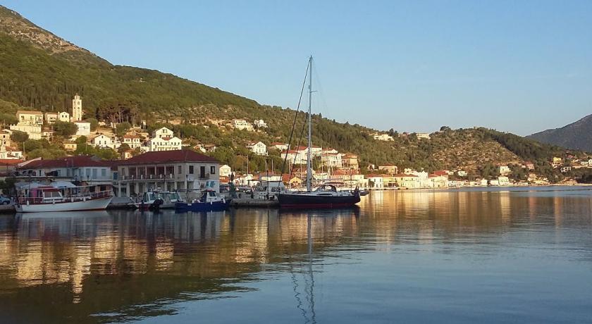
Description
Erineos (Greek: Ερινεός) is a former municipality in Achaea, West Greece, Greece. Since the 2011 local government reform it is part of the municipality Aigialeia, of which it is a municipal unit. The municipal unit has an area of 98.710 km2. Its seat of administration was in the village of Kamares. Erineos stretches between the northeastern slopes of the Panachaiko mountain and the Gulf of Corinth. The river Foinikas (Phoenix) (or Salmenikos) flows through the municipality. The Greek National Road 8A (Patras - Aigio - Corinth) and the railway from Patras to Corinth run through the municipal unit. It is located about 10 km west of Aigio.
Subdivisions
The municipal unit Erineos is subdivided into the following communities (constituent villages in brackets):
- Arravonitsa (Arravonitsa, Synania)
- Damakini (Damakini, Vounopyrgos)
- Kamares (Kamares, Bouka, Pefka)
- Neos Erineos
- Salmeniko (Ano Salmeniko, Kato Salmeniko, Voteni, Neo Salmeniko)
- Ziria (Ziria, Ano Ziria, Kyani Akti, Lampiri, Rodini, Sarkounas)
History
The ancient city of Rhypes was one of the cities of the Achaean League. It was razed by Emperor Augustus. In Kamares artefacts dating back to the Roman times have been found. The Salmeniko Castle was an important stronghold of the Byzantines against the Ottomans. The municipality Erineos was founded in 1994 and included the former communes of Kamares, Neos Erineos and Ziria. In 1998 under the Capodistrian Constitution Arravonitsa, Damakini and Salmeniko were added.
Source: https://en.wikipedia.org/wiki/Erineos
Address
Erineos
Greece
Lat: 38.292217255 - Lng: 21.976097107

