
Description
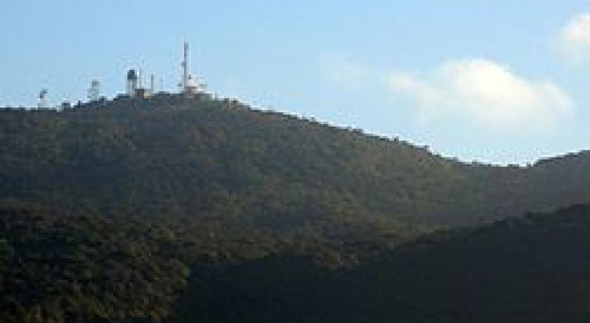
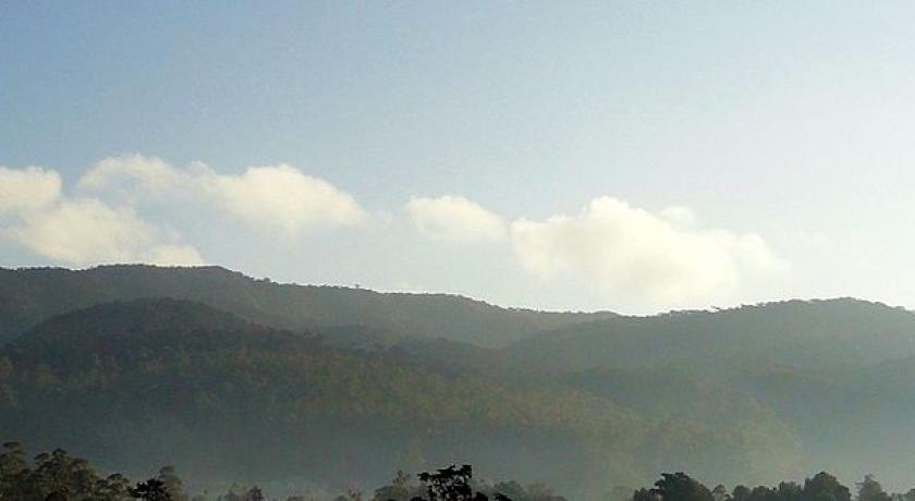
Pidurutalagala (Sinhalese: පිදුරුතලාගල, pronounced, Straw Plateau Rock), or Mount Pedro in English, is an ultra prominent peak, and the tallest mountain in Sri Lanka, at 2,524 m (8,281 ft). Mount Pedro is located close to the city of Nuwara Eliya, and is easily visible from most areas of the Central Province. It is situated North-North-East from the town of Nuwara Eliya.
Piduruthalagala Mountain and the Forest Reserve is situated almost next to the heart of Nuwara Eliya Town. The mountains situated on this plateau rises upto 2000 feet making some ridges. During 1897, there had been a path made to climb Pidurutalagala mountain. The four mile track to the top could have been made by walking for two and half hours or could be made on horse back. The meaning of word Pidurutalagala can be likened as “ Straw laden rock “.
Its summit is home to the central communications array of the Government of Sri Lanka and armed forces, and serves as an important point in the country's radar system. The peak is currently designated as an "Ultra-high security zone", and is protected by a large military base; being strictly off limits to the general public.
On 1 March 2010, a small wildfire broke out over the mountain's forest cover. The fire destroyed 3 acres (0.012 km2) of forest, before being doused by the Sri Lanka Air Force and nearly 300 local residents.
Source:https://en.wikipedia.org/wiki/Pidurutalagala
Address
Pidurutalagala
Sri Lanka
Lat: 7.001036167 - Lng: 80.773742676

