
Description
Kegalle (Sinhalese: කෑගල්ල; Tamil: கேகாலை) is a large town in Sabaragamuwa Province of Sri Lanka. It is located on the Colombo–Kandy road, approximately 78 km (48 mi) from Colombo and 40 km (25 mi) from Kandy. It is the main town in the Kegalle District, which is one of two districts which comprise Sabaragamuwa Province. The town is governed by an Urban Council.
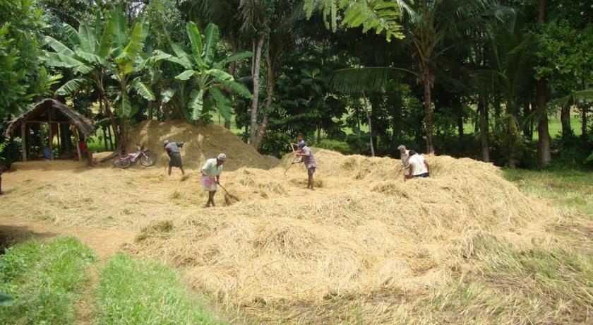
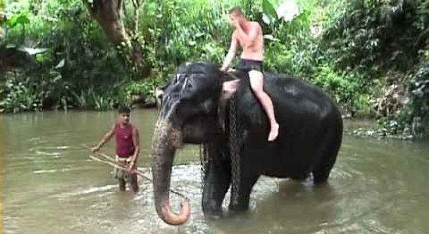
The surrounding area produces graphite, precious stones and agricultural products such as rice. Kegalle has an agricultural based economy and mainly produces rubber. Kegalle is the nearest town to the Pinnawala Elephant Orphanage, a major tourist attraction in the area, which is 10.5 km (6.5 mi) to the north-east.
Historical grandeur
Kegalle District remarks on its great history dated back to the stone age of Sri Lanka.It is an assortment of proven evidences of the present day city formation. According to those evidences there had been a prosperous civilization in Kegalle prior to 28000 years.The caves of Beli lena, Dorawaka lena, Alu lena, Asmadala, Padavigampola, Batalegala, Lenagala, Ambala Kanda, Halamada, Heenatipana, Uthuwankanda, Beligala,Salawa, Yahalena,Salgala and Kela Dambulla endow with the evidences for that.
According to the archaeology of the Kegalle District,it has been a region in Maya Rata of the three divisions of Sri Lanka. Further it is noticeable by the latter half of the Sinhalese kingdom and also by the ruling period of the British. Those days Kegalle had been divided into three parts; named as “Satara Koralaya”,” Thun Koralaya” and “Patha Bulathgama”.
Physical information
Kegalle, situated in between the central highlands and western southern planes and has an enchanting environment. The height of the western region is less than 500 feet above sea level while the eastern region exceeds 1,000 feet. Rubber cultivation has stretched over most of the area of the district and minor export crops such as coffee, cocoa, pepper, clove and nutmeg takes an important place in the district's economy. Sri Lanka’s best graphite mine is situated at Bogala in Kegalle District. The extent of the District is 1692.8 km2 (169,280 in hectares). Sri Lanka 65610 km2
The economic maturity
The land has become another fertile facilitator to the cultivation promoted needs of the citizens of Kegalle.The district mainly being an agrarian society, rubber, tea and coconut are cultivated as the main crops of it. Apart from that clove, pepper, coffee and cocoa too are being cultivated as secondary commodities. As of the Rubber cultivation, 33% of the agrarian lands have been utilized for it.29000 acres of land area have been occupied for the paddy cultivation.The rain water is the main resource provider for the cultivations in Kegalle.
Minerals are another lucrative donor of the district of Kegalle.The Bogala graphite is one of the most notable mine in Kegalle district and marks a half amount of the total mineral export of Sri Lanka.The gem distribution near the Kelani River further boosts for the economic prosperity of the district.
Attractions
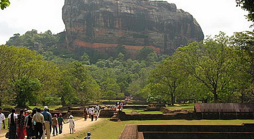
At present, Kegalle being one of the most hospitable and cozy district it has become one of the profitable tourist attractions of the country.The rhythmical plummet of waterfalls of Asupini Ella,the shabby of Kurulu Kelaya with the lengthiest fungi tree of Sri Lanka, Pinnawala elephant orphanage and the Pinnawala Open Air zoo (First Open Air Zoo in Sri Lanka) and pool resources into be another dynamic co -hand of the economy, culture and society of Sri Lanka .
Pinnawala Elephant Orphanage
Pinnawala Elephant Orphanage is an orphanage, nursery and captive breeding ground for wild Asian elephants located at Pinnawala village, 13 km (8.1 mi) northeast of Kegalle town in Sabaragamuwa Province of Sri Lanka. Pinnawala is notable for having the largest herd of captive elephants in the world.
Asupini Ella
Asupini Ella (waterfall) also called 'Asupini Falls' is a 30 metres (98 ft) waterfall that can be seen from the historic town of Aranayake. According to ancient tales, it was named after the story about a King who had many queens. On his return from war, he assured them that he would give them a sign from the hills about the fate of the war. He said, “If his soldiers waved a white flag over the hills, it would mean he was defeated and killed in action. But, if he waved his own flag bearing his crest, that he was victorious". The King decided to play a joke on his wives, who were waiting with their horses near the waterfall to see the visual message, by waving a white flag. His wives were so upset that they all committed suicide by jumping over the falls which inspired the name Ahupini, which is derived from 'Aswaya' (Horse) and 'Pini' or 'Panina' (Jump) which combined means "the horses jumped over the falls".
Buddhist Temples
Wewaladeniya Viharaya, also known as Kegalla Siri Mahindodaya Piriwen Viharaya is one of oldest temples in Kegalle. It is located at the centre of the town.
Address
Kegalle
Sri Lanka
Lat: 7.251331806 - Lng: 80.346374512

