
Description
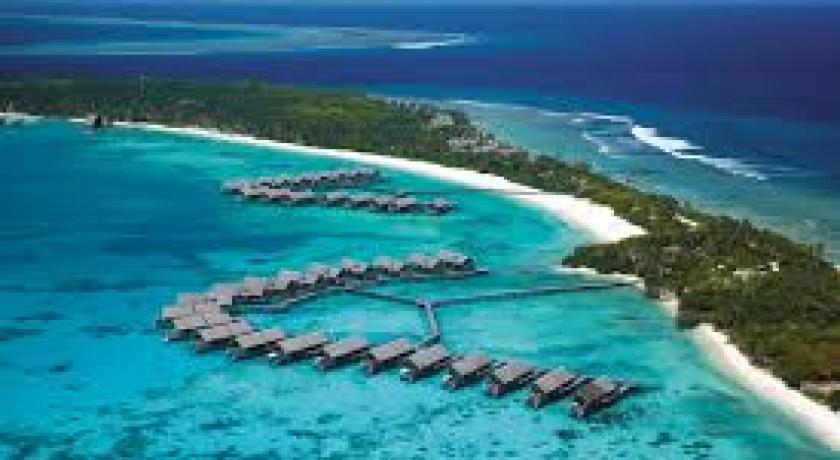
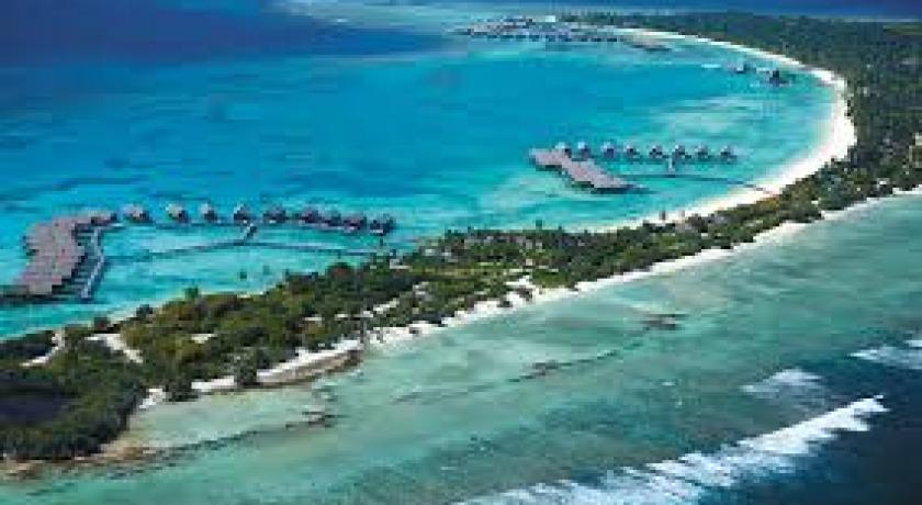
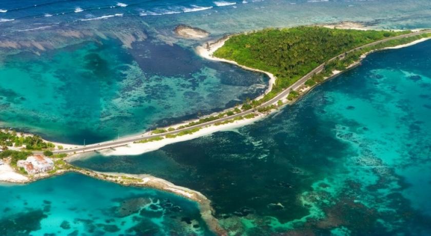
Addu Atoll ( Seenu atoll) marks the southern end of the Maldive archipelago. Addu Atoll is 21 km long and it is fringed by broad barrier reefs with large islands on its eastern and western sides. Its lagoon has no islands and is relatively open with few shoals in its centre, but having mazes of coral patches close to the NW and NE corners of its encircling reefs in 7 to 10 fathoms (13 to 18 m) of water. The general depths vary from 20 to 25 fathoms (37 to 46 m), with mud and sand at the bottom.
The distance from Addu Atoll to the closest island in the Chagos Archipelago (Île Yeye, Peros Banhos Atoll) is about 520 km, with nothing but deep ocean in between them.
Note: Further south Haddhummati in the middle of the vast emptiness of the Huvadu Channel there is a small bank known as Medutila (also called Derahaa). This place is the peak of a submarine mountain, and perhaps an atoll in the process of formation. This bank is very difficult to spot for at its shallowest point there is a depth of 6 fathoms (11 m). It looks like a paler blue patch surrounded by huge expanses of the deepest ocean. There, no island can be seen in the horizon for many dozens of miles.
Resorts
Villingli Resort ( Only resort on the island)
Address
Maldives Addu Atoll
Maldives
Lat: 5.206226826 - Lng: 73.084701538

