
Description
Kampong Glam (Chinese: 甘榜格南; pinyin: Gānbǎnggénán; Malay: Kampong Gelam; Jawi script: كامڤوڠ ڬلم ; Tamil: கம்ப்பொங் கிலாம்) is a neighbourhood in Singapore. It is located north of the Singapore River, in the urban planning areas of Kallang and Rochor.
The name of the area is thought to be derived from the cajeput tree, called "gelam" in Malay. "Kampong" (modern spelling "kampung") simply means "village".
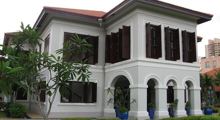
Prior to colonisation by the British in 1819, the area was home to the Malay aristocracy of Singapore. It became prominent and more populous after the signing of a treaty between the British East India Company, Sultan Hussein Shah of Johor and Temenggong Abdul Rahman in 1819. The company was given the right to set up a trading post in Singapore under this treaty.
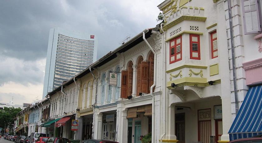
During the colony's early history, under the Raffles Plan of 1822, the settlement was divided according to different ethnic groups which included European Town, Chinese, and Chulia, Arab and Bugis kampongs. Kampong Glam was designated for the Sultan and his household, as well as the Malay and Arab communities, many of whom were merchants. It was situated east of what was then the European Town.
While the Temenggong and his followers settled in Telok Blangah, Sultan Hussein, his family and followers settled in Kampong Glam. In return, the Sultan was given large areas of land for residential use in Kampong Glam under the treaty. The land was allocated to the Malays and other Muslim immigrants to Singapore, including the Malays from Malacca, the Riau Islands and Sumatra in Indonesia.
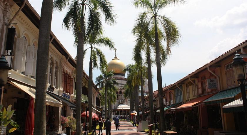
The second half of the nineteenth century saw the rapid growth of immigrant communities in Kampong Glam, initially from Sumatra, and later from other parts of Indonesia and Malaya. This resulted in the setting up of different kampongs, like Kampong Malacca, Kampong Java and Kampong Bugis. There was also a small but successful Arab community of traders in the area.
In the early twentieth century, commercial activities in Kampong Glam expanded as new shop houses and residential buildings were built. A multi-ethnic community soon developed there, comprising not only Malays and Arabs but also the Chinese and Indians.
Later, due to an expansion of commercial activities and an increase in immigrant settlers in Kampong Glam, the Arabs moved to areas like Joo Chiat, Tanglin and Bukit Tunggal (the stretch of Dunearn Road near the junction of Balmoral Road and Chancery Lane, near Anglo-Chinese School (Barker Road) today, was called Tunggal Road).
By the early 1920s, many Malays also moved out to designated resettlement areas in Geylang Serai and Kampong Eunos.
Source: https://en.wikipedia.org/wiki/Kampong_Glam
Address
Singapore
Singapore
Lat: 1.302788258 - Lng: 103.863639832

