
Description
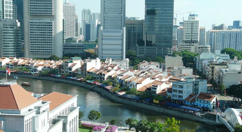
Boat Quay is a historical quay in Singapore which is situated upstream from the mouth of the Singapore River on its southern bank.
It was the busiest part of the old Port of Singapore, handling three quarters of all shipping business during the 1860s. Because the south of the river here resembles the belly of a carp which according to Chinese belief is where wealth and prosperity lay, many shophouses were built, crowded into the area.
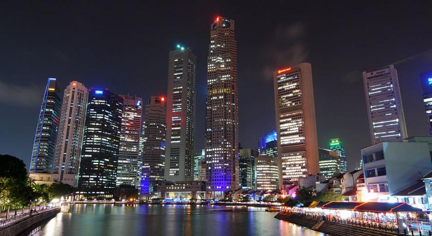
Though serving aquatic trade is no longer Boat Quay's primary role, the shophouses on it have been carefully conserved and now house various bars, pubs and restaurants. Therefore, Boat Quay's social-economic role in the city has shifted away from that of trade and maritime commerce, and now leans towards more of a role accommodated for tourism and aesthetics for the commercial zone of which encloses the Singapore River. It is the soft front to the banking and financial sectors lying immediately behind it.
Boat Quay is also the name of the road along the quay, which has since been converted into a pedestrian mall.
History
Since the founding of modern Singapore in 1819, the Singapore River was the artery for much of the island's trade and economic activities. The south bank of the river, where most of the commerce took place, is known as Boat Quay.
In the 1820s, the area was swampy and built over with raft houses occupied by local traders. It was reclaimed with earth taken from a small hill where Commercial Square, now Raffles Place, stands.
As early as 1822, Sir Stamford Raffles had already designated the area south of the river to be developed as a Chinese settlement. Boat Quay was completed in 1842 and the Chinese, mostly traders and labourers, settled there in large numbers. Conditions were squalid but Boat Quay flourished, rapidly exceeding in volume the trade on the north bank where the Europeans had their offices, houses and government buildings.
In the midst of Boat Quay were the trading offices of some of Singapore's leading towkay (Hokkien for business owners) and philanthropists, such as Tan Tock Seng and Tan Kim Seng. The level of activity on the river was an indicator of the island's economic status. In prosperous times, hundreds of bumboats would fight for limited berthing space. Goods were carried from ships anchored in the river, to the road by lighters and coolies. Traders bought and sold many items, from raw materials such as rubber, tin, and steel, to perishables such as rice and coffee, and many other manufactured goods.
Boat Quay was very resilient to change. Its role did not diminish even when a new harbour was built at Tanjong Pagar in 1852. On the contrary, it continued to grow, spurred on by the opening of the Suez Canal in 1869, when steamships started calling at the port of Singapore. In fact, during that period, three quarters of Singapore's overall trading business was transacted from Boat Quay.
Its decline really began in the 1960s, as mechanisation and computerisation gradually usurped the bumboat's role in the shipping industry. In September 1983, the government opened a modern, high-tech cargo centre in Pasir Panjang. This led to the rapid demise of Boat Quay's river trade, as the highly mechanised container port replaced the laborious and hazardous lighter system. Therefore, during the mid-1980s, after all the trading companies had moved out and the lighters removed, Boat Quay was devoid of activity, with the river deserted.
In 1986, the Urban Redevelopment Authority announced plans to conserve Boat Quay as part of a master plan for conserving the whole of the Singapore River and its environs.
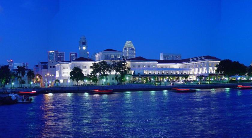
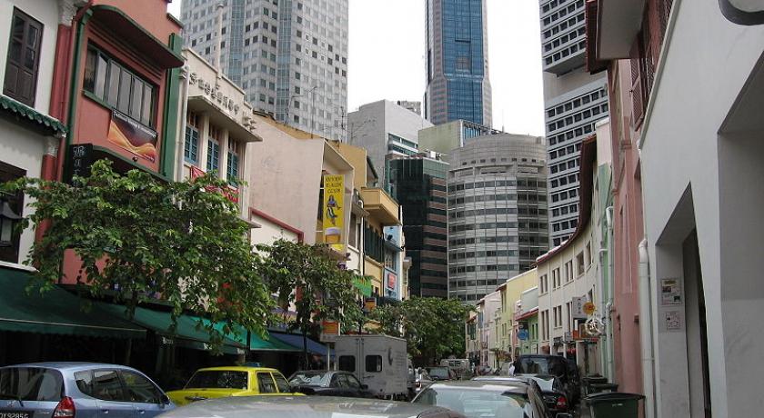
On 7 July 1989, an area encompassing South Bridge Road, Circular Road, Lorong Telok and North Canal Road was gazetted. The two- and three-storey shophouses in that area, with their characteristic five-foot way beneath projecting upper floors, were preserved and transformed into new businesses. The shophouses and godowns along the river bank were restored in the 1990s and are now bustling shops, restaurants and bars.
Historical names
Boat Quay is one of the early roads established when the Singapore River was the main port area of the colonial city. In the 19th century, the Chinese had several names for this road, referring to different sections of it:
- tiam pang lo thau or "the place to go for sampans";
- chap sa hang (十三行) or "the thirteen shops" (the part near Canton Street);
- chap peh keng (十八间) or "the eighteen houses" (the part near Circular Road);
- chui chu boi or "bathing house end";
- khoi ki or "steam bank";
- bu ye tian (不夜天) or "place of ceaseless activity"; and
- iam pang lo thau or "sampan ghaut or landing-place" (referring to the lower part of Boat Quay near Purvis Creek).
- cha chun tau (柴船头), meaning "jetty for boats carrying firewood" (the part around Read Bridge)
Some of the quay's colloquial English names included:
- Suspension Bridge Quay (after Cavenagh Bridge); and
- "The Belly of the Carp" because of the shape of the river at this point.
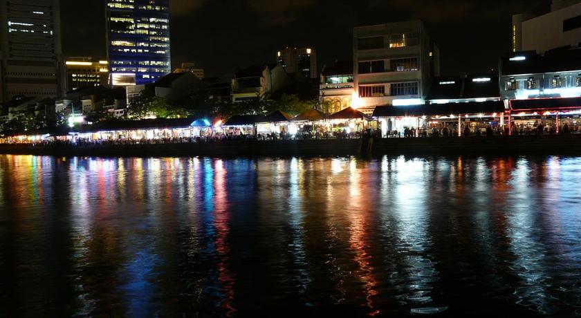
Today
Boat Quay, nestled in the heart of Singapore's Central Business District (CBD), is one of the hippest dining, entertainment and lifestyle destinations in Singapore.
Offering an eclectic mix of high-end restaurants, casual eateries, charming cafés and riverfront alfresco dining as well as artisanal cocktail bars, lively pubs and energetic clubs with an all-night following, Boat Quay is arguably the favourite place to chill out for most professionals, expatriates, tourists and families.
Source: https://en.wikipedia.org/wiki/Boat_Quay
Address
Singapore
Singapore
Lat: 1.287811875 - Lng: 103.849418640

